

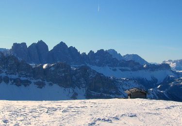
Plose Rossalm

VacheKiri67
Utilisateur

Longueur
5,8 km

Altitude max
2199 m

Dénivelé positif
190 m

Km-Effort
8,3 km

Altitude min
2011 m

Dénivelé négatif
190 m
Boucle
Oui
Date de création :
2018-07-27 13:28:59.356
Dernière modification :
2018-07-27 13:28:59.459
2h11
Difficulté : Facile

Application GPS de randonnée GRATUITE
À propos
Randonnée Marche de 5,8 km à découvrir à Trentin-Haut-Adige, Haut-Adige, Brixen - Bressanone. Cette randonnée est proposée par VacheKiri67.
Description
Faite le 20/07/2018 avec notre fils Théo de 13 ans.
Localisation
Pays :
Italie
Région :
Trentin-Haut-Adige
Département/Province :
Haut-Adige
Commune :
Brixen - Bressanone
Localité :
Unknown
Départ:(Dec)
Départ:(UTM)
707246 ; 5173765 (32T) N.
Commentaires
Randonnées à proximité
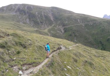
Plose - Schatzerhütte


Marche
Moyen
(1)
Brixen - Bressanone,
Trentin-Haut-Adige,
Haut-Adige,
Italie

9,2 km | 14,2 km-effort
3h 1min
Oui
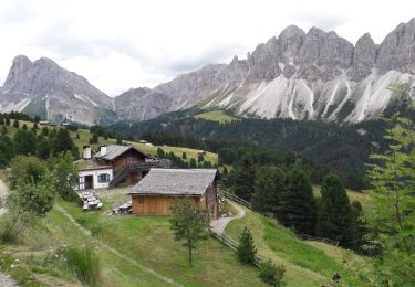
Pfannspitze - Gabler - Skihütte


Marche
Moyen
(1)
Brixen - Bressanone,
Trentin-Haut-Adige,
Haut-Adige,
Italie

7,8 km | 12,2 km-effort
3h 40min
Non
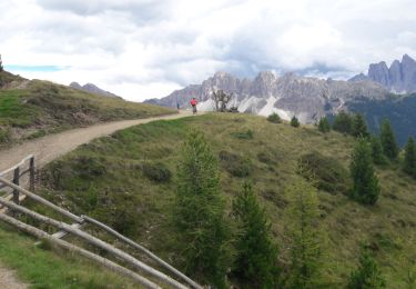
Dolomiten Panoramaweg


Marche
Moyen
(1)
Brixen - Bressanone,
Trentin-Haut-Adige,
Haut-Adige,
Italie

15,6 km | 23 km-effort
5h 10min
Oui
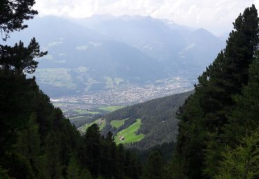
Telegraph - Leonharder Kreuz


Marche
Moyen
(1)
Brixen - Bressanone,
Trentin-Haut-Adige,
Haut-Adige,
Italie

11,5 km | 19,1 km-effort
5h 13min
Oui
Wanderweg 3 - Lüsen


A pied
Facile
Lüsen - Luson,
Trentin-Haut-Adige,
Haut-Adige,
Italie

6,8 km | 11,6 km-effort
2h 38min
Non
Brixener Höhenweg


A pied
Facile
Brixen - Bressanone,
Trentin-Haut-Adige,
Haut-Adige,
Italie

5,1 km | 7 km-effort
1h 35min
Non
IT-9


A pied
Facile
Brixen - Bressanone,
Trentin-Haut-Adige,
Haut-Adige,
Italie

5,3 km | 6,4 km-effort
1h 26min
Non
IT-8


A pied
Facile
Brixen - Bressanone,
Trentin-Haut-Adige,
Haut-Adige,
Italie

4,2 km | 9,6 km-effort
2h 11min
Non
7 - Gablersteig


A pied
Difficile
Brixen - Bressanone,
Trentin-Haut-Adige,
Haut-Adige,
Italie

16,1 km | 38 km-effort
8h 36min
Non


 SityTrail


